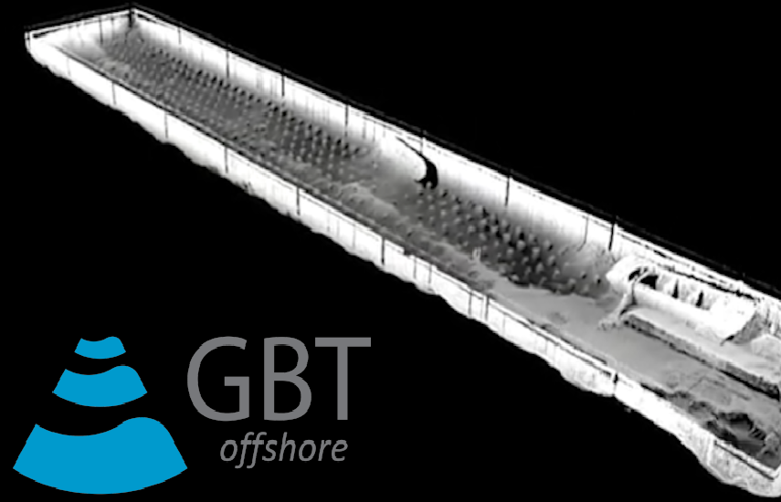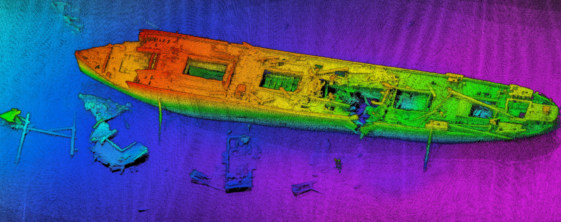
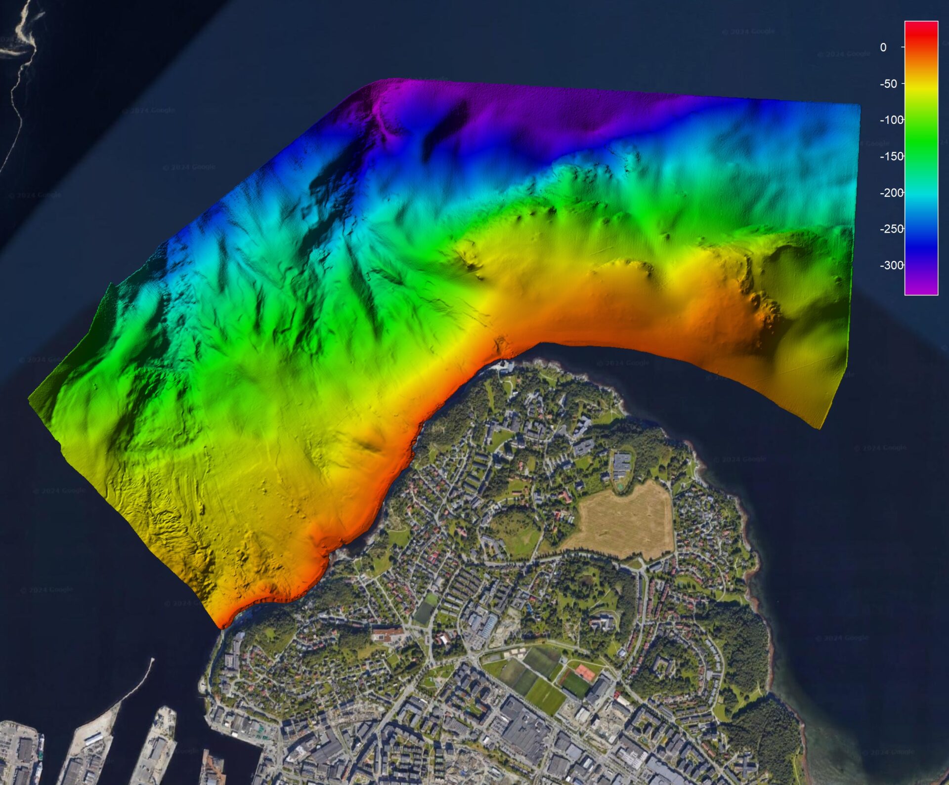
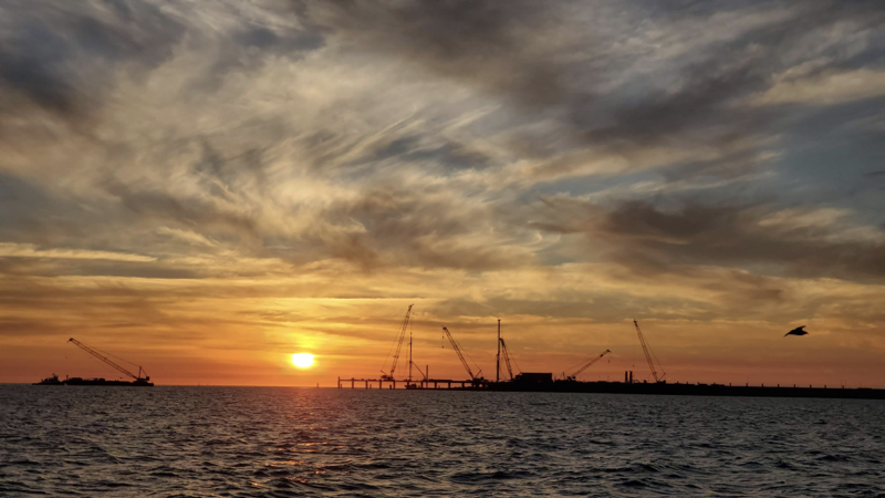
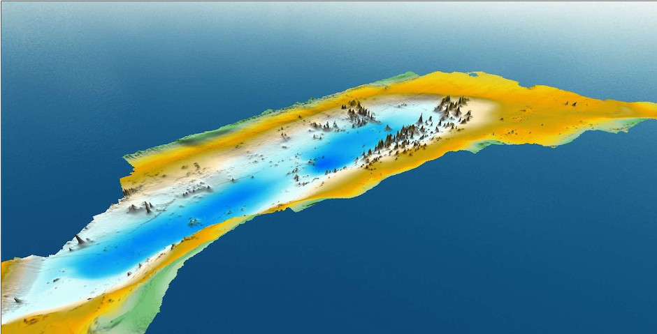
Evaluation of NORBIT WINGHEAD B57S for Mapping Medium Water Depth Ranges
Filter case studies
Applications
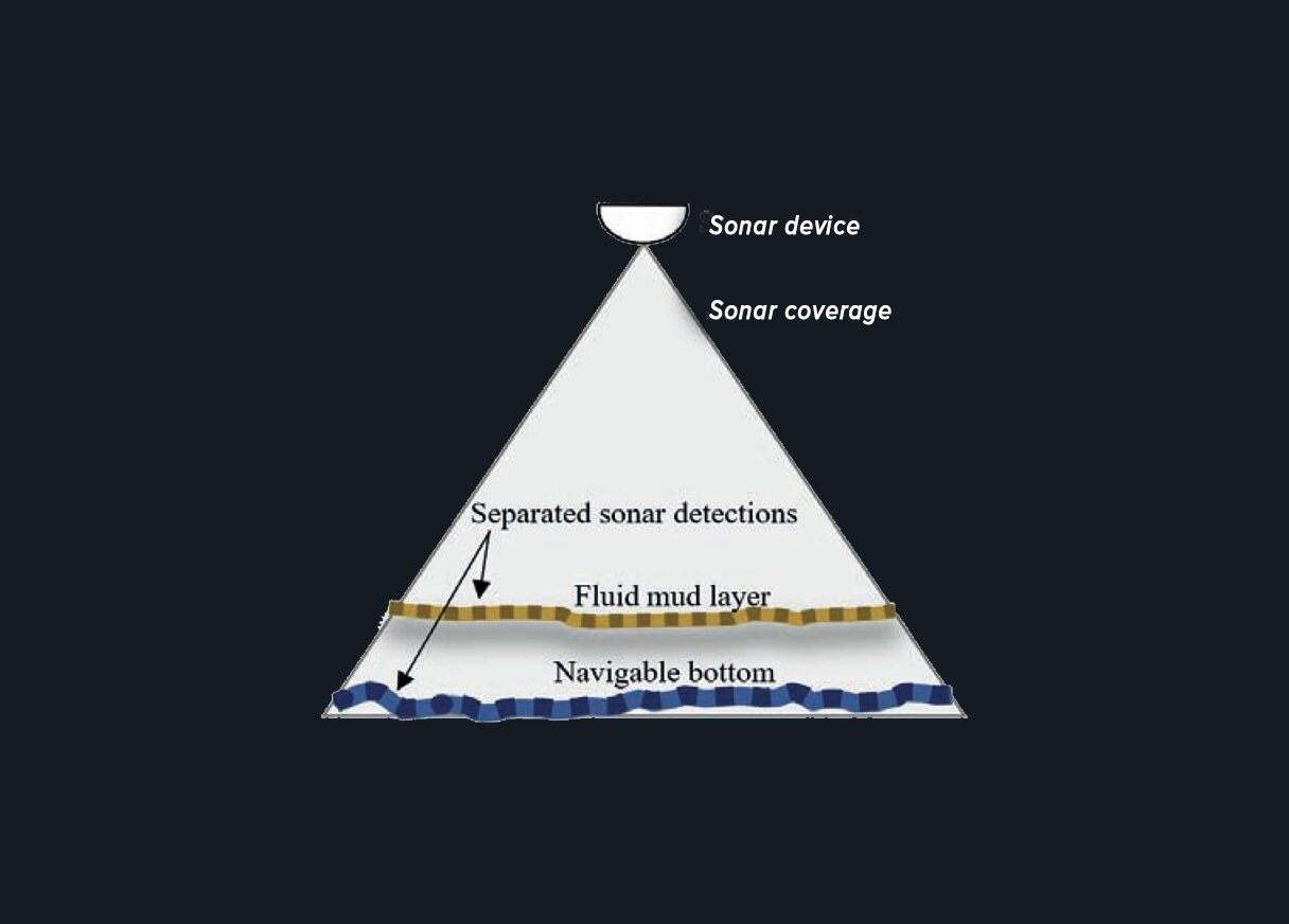
- Fluid Mud
- Forward Looking
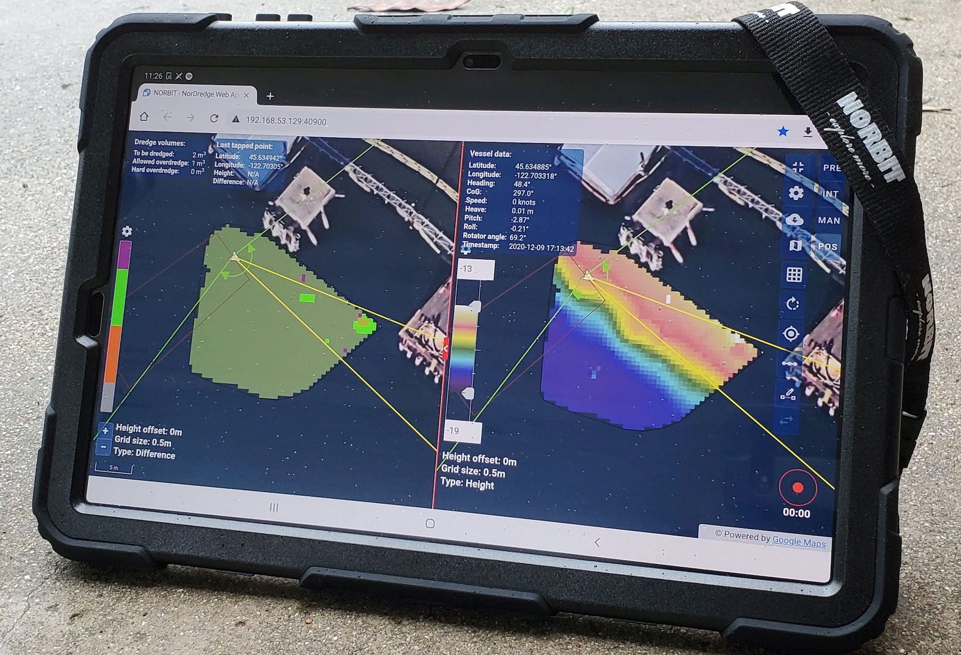
- Dredging
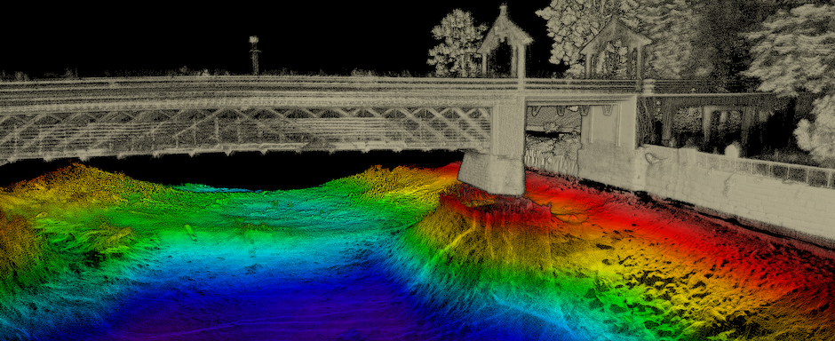
- Shallow water survey
- Above water (Laser) survey
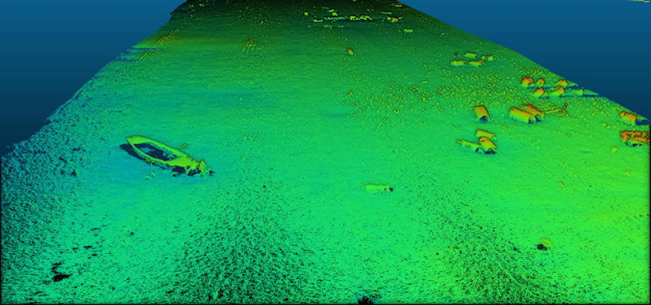
- Open Ocean survey
- 3D/4D Applications
- General
- Moon pool/Hull mount
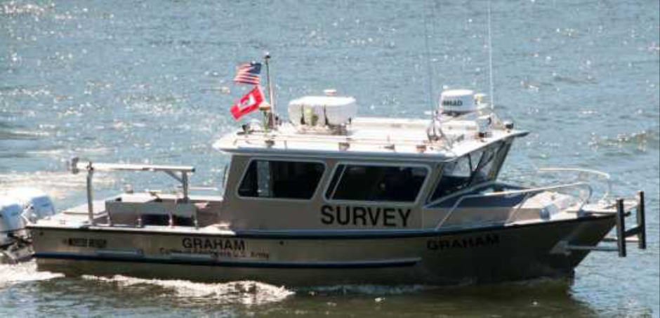
- USV Survey
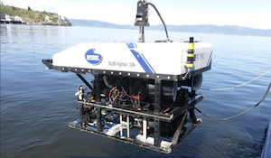
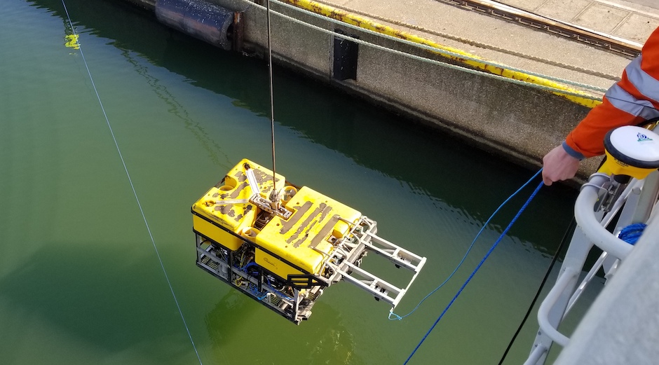
- ROV
Products
- sub-bottom profiler
- iWBMS X
- WINGHEAD FLS
- iWBMSh Stabilised
- iWBMS Ekinox
- WINGHEAD
- General
- STX sonar
- iWBMS
- iWBMSh
- iWBMSc
- iWBMSe
- iLiDAR
- WBMS bathy
- WBMS FLS
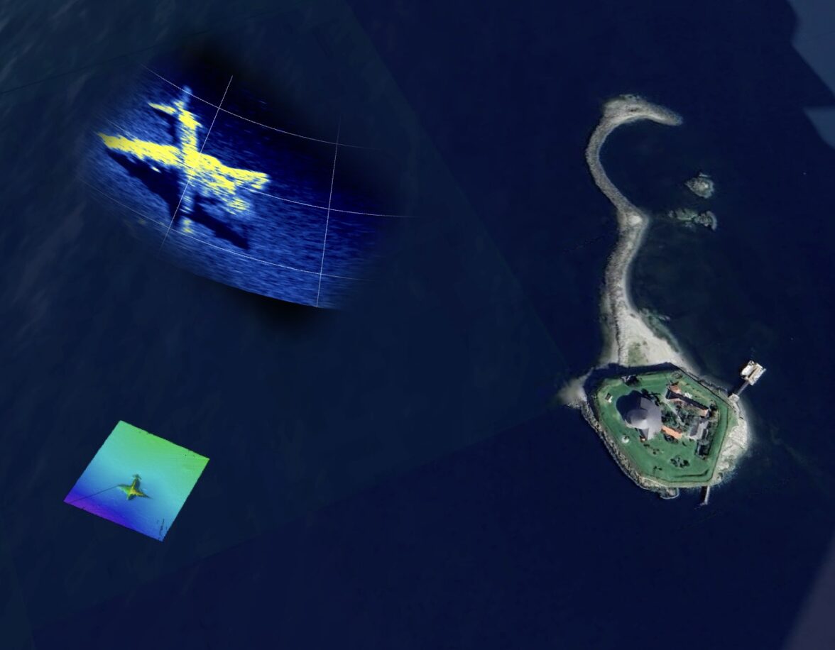
WINGHEAD F11 – Superior Performance Ultra High-Resolution Curved Array Forward Looking Sonar
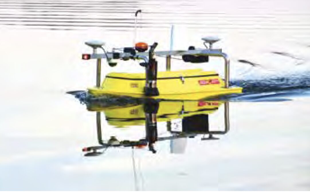
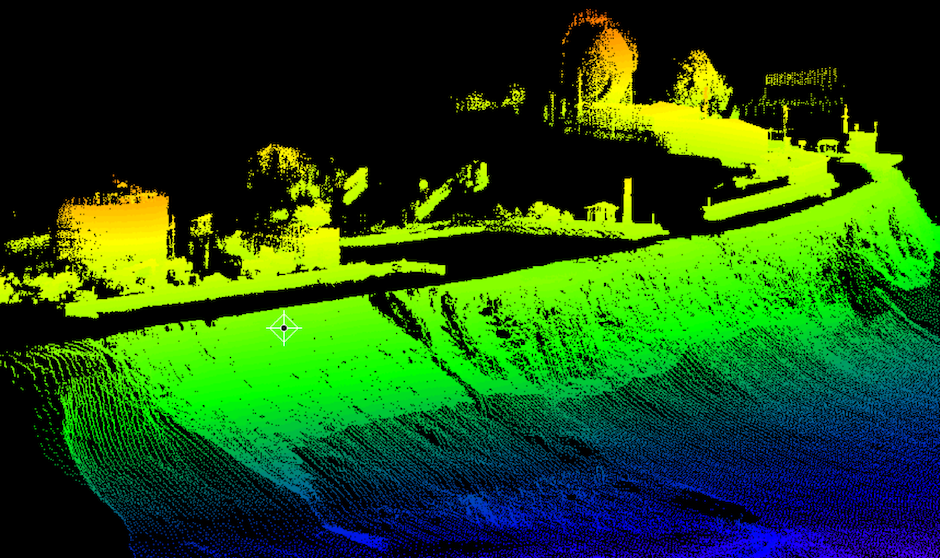
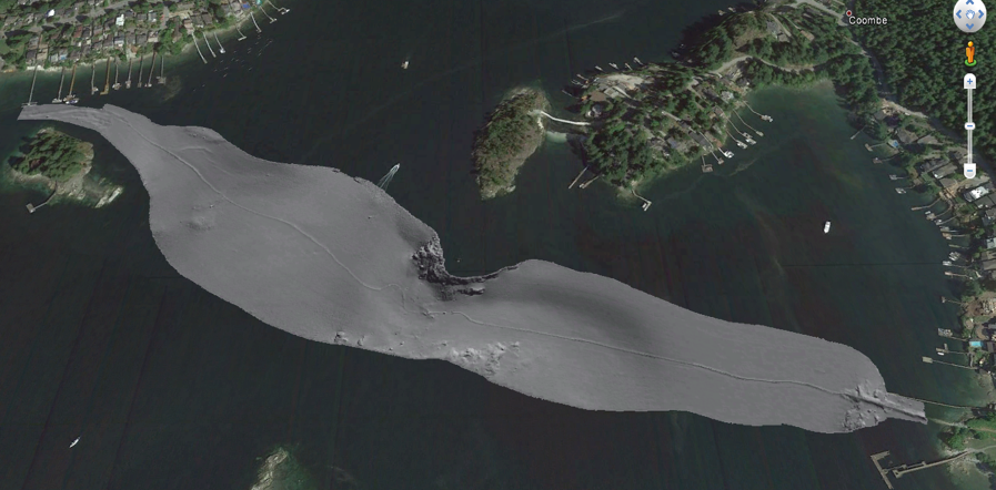
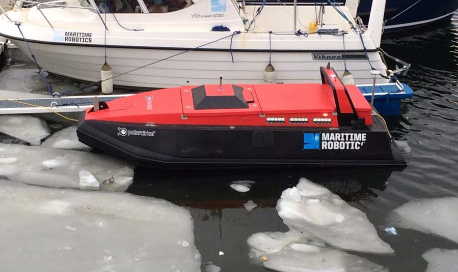
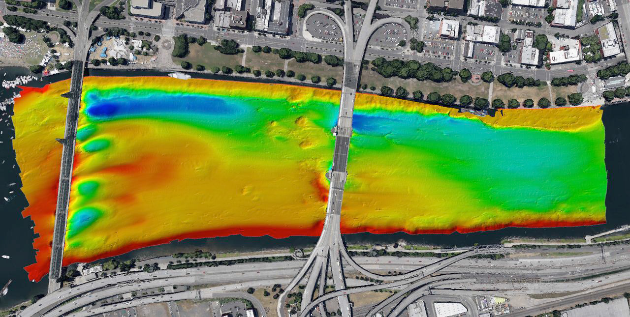
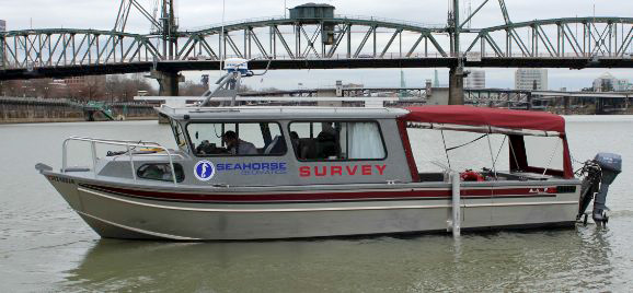
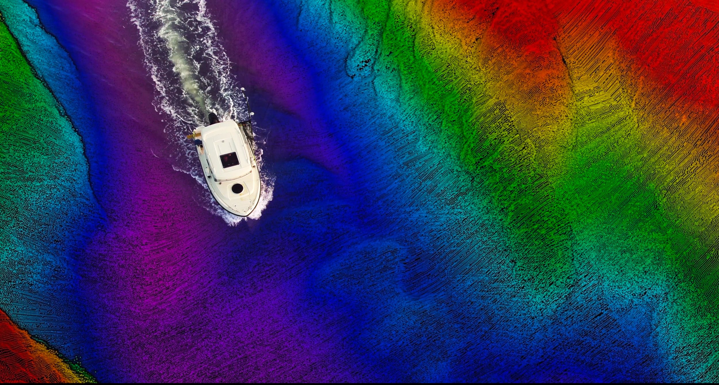
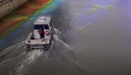
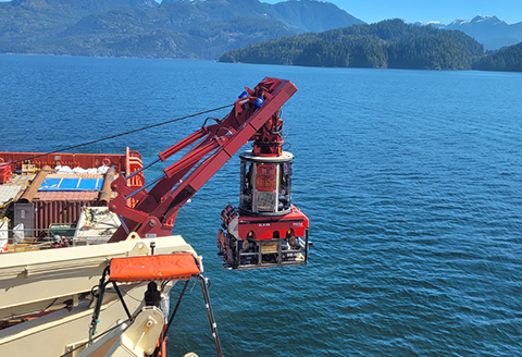
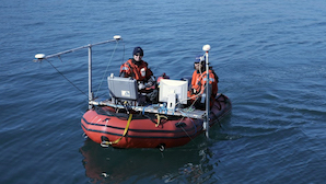
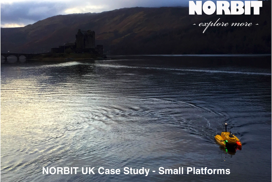
Integration of USV by K2sea with High-Resolution Multibeam Echo-sounder for Complete Automation of Bathymetric Measurements
- Seabed-Gazette-2024_LR
- View video
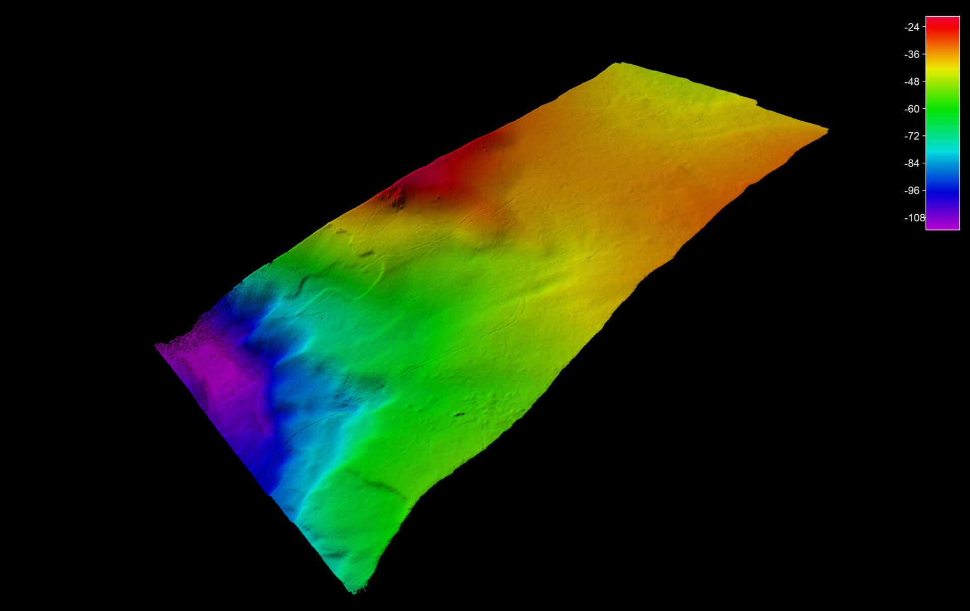
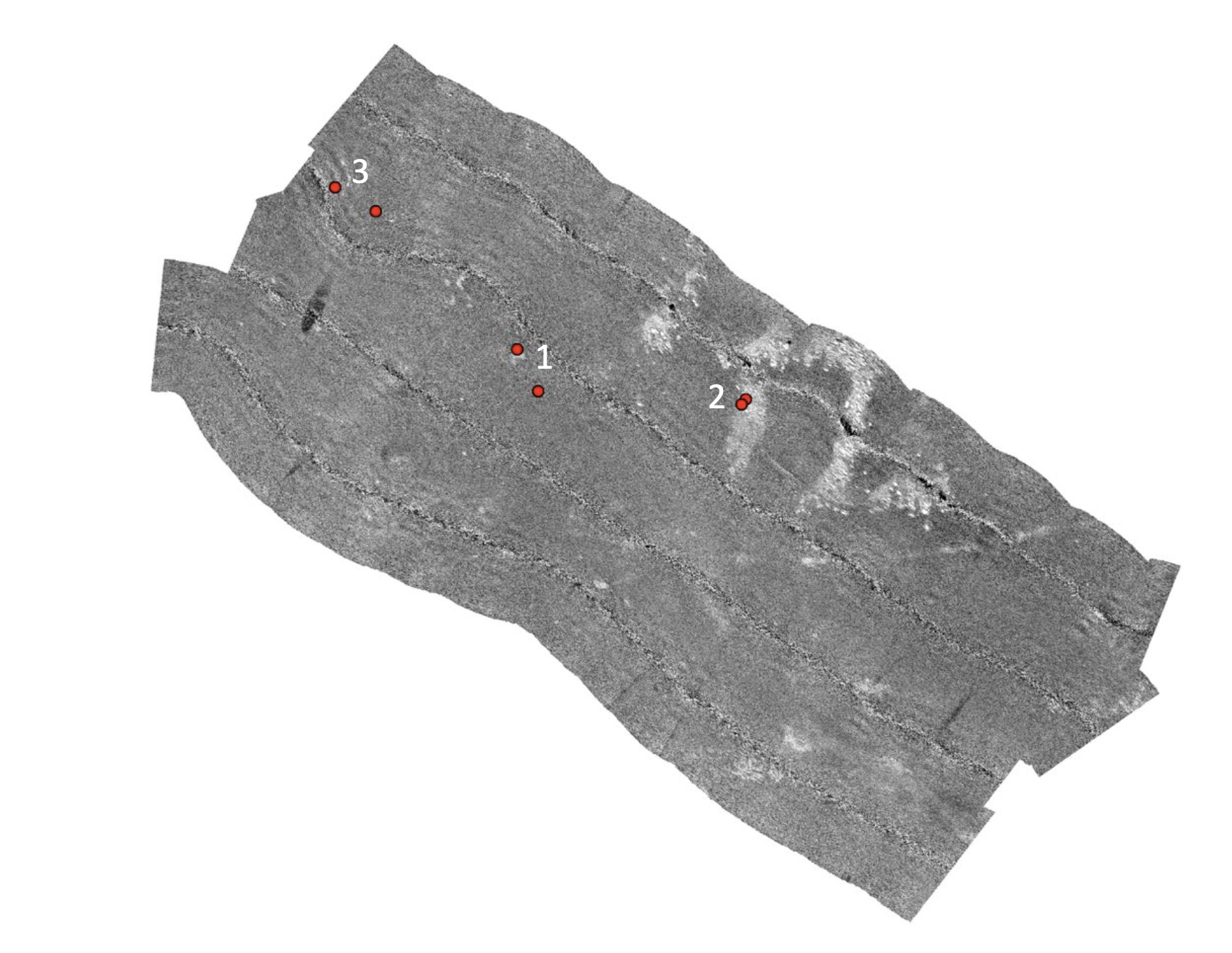
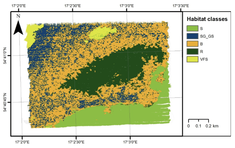
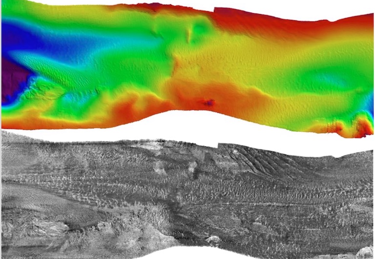
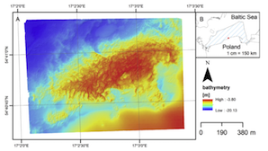
Multi-band, calibrated backscatter from high frequency multibeam systems as an efficient tool for seabed monitoring
- Open the case study
- View video
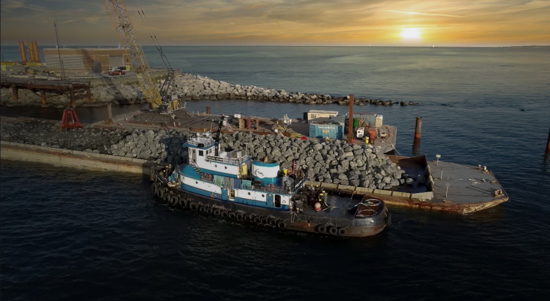
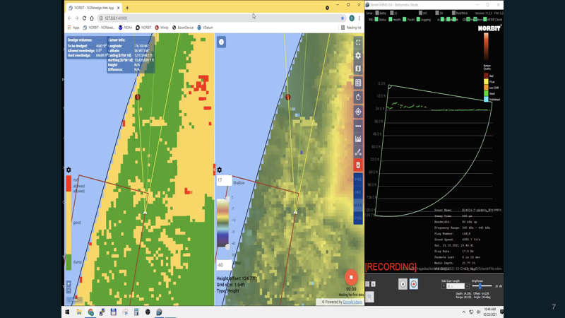
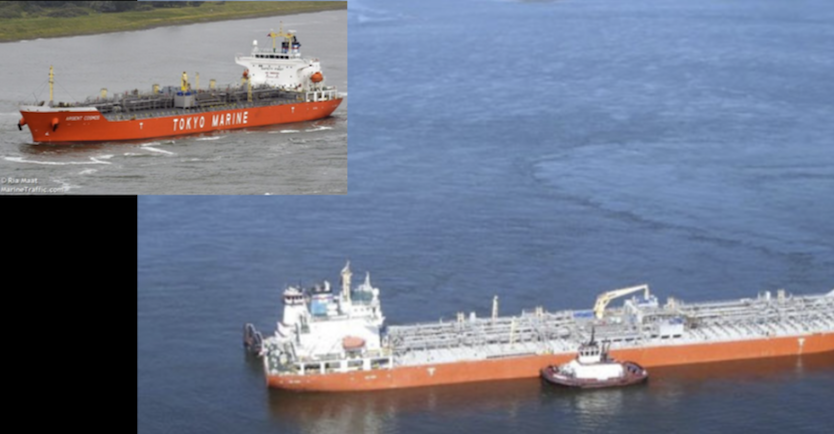
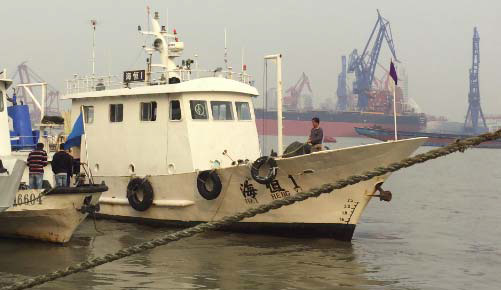
WEDA Presentation – Essential resource management in dredging hydrographic surveying using USV and SV
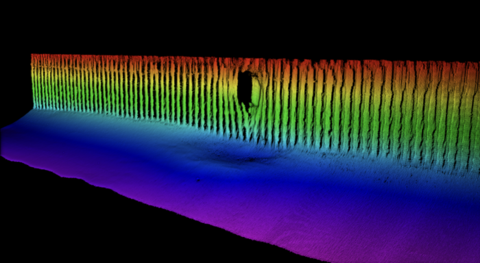
Measurement of Seafloor Acoustic Backscatter Angular Dependence at 150 kHz Using a Multibeam Echosounder
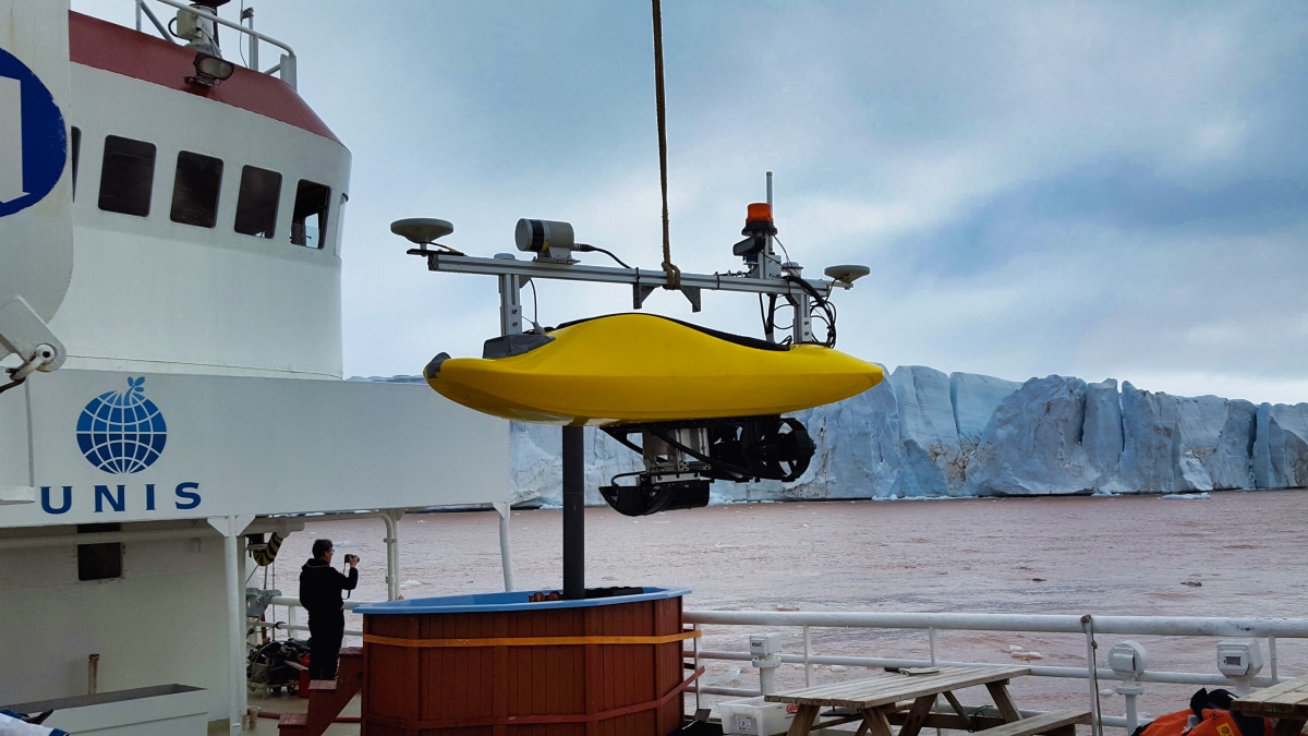
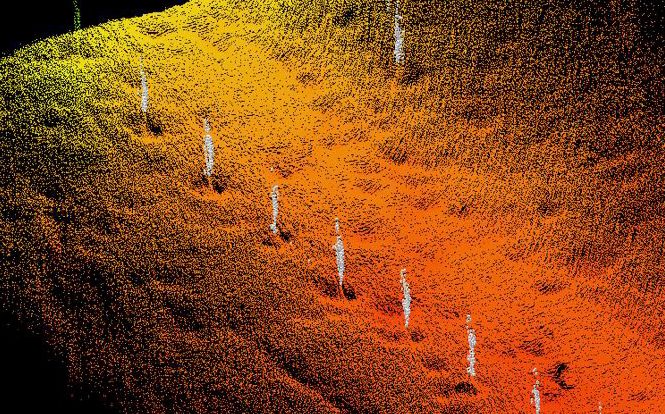
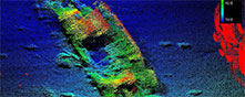
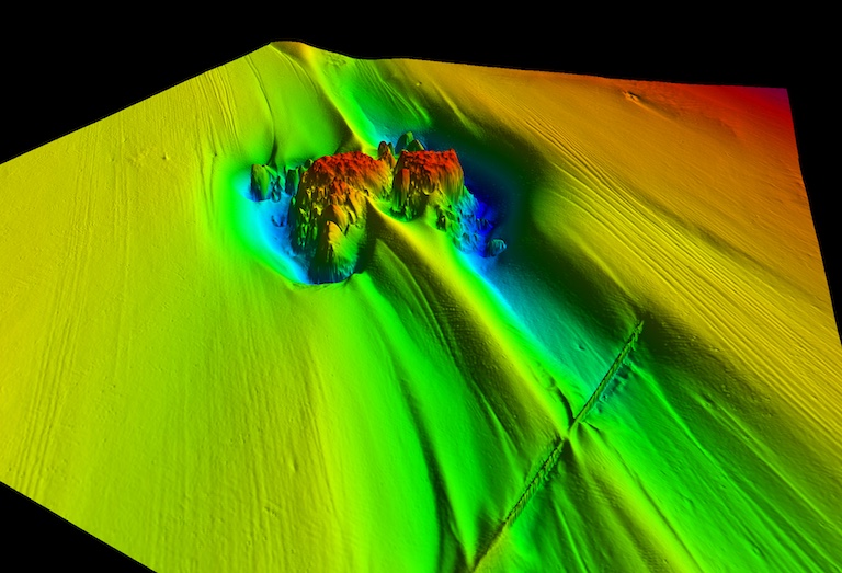
Looking for Gas Hydrate Indicators in Isfjorden, Svalbard Archipelago
- Open the case study
- View video

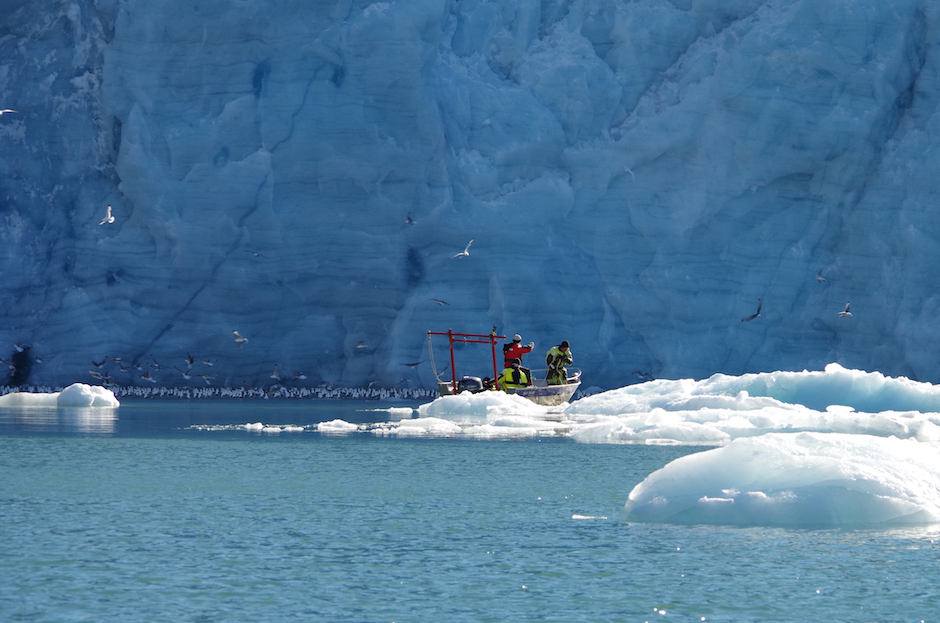
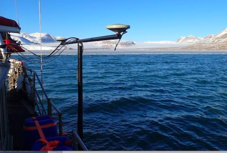
Acoustic Detection of Macroalgae and Glaciers Mapping in Arctic Fjords