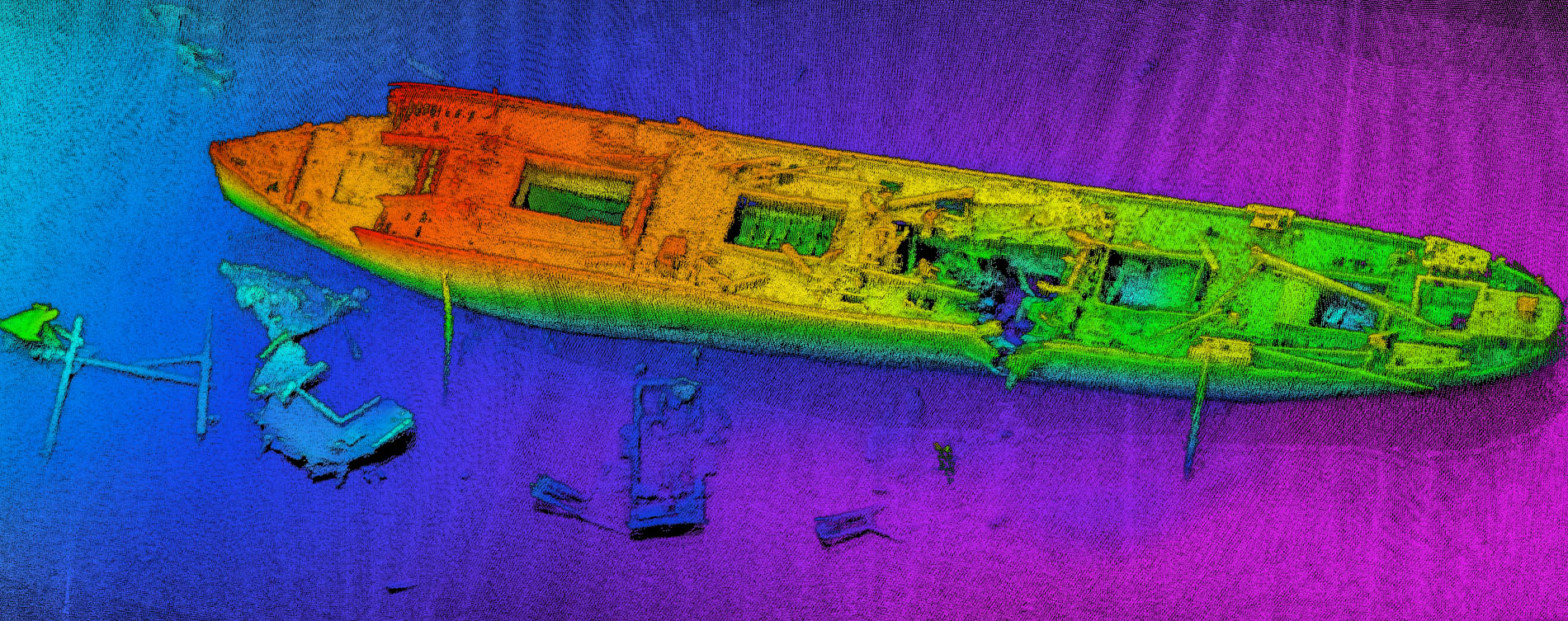
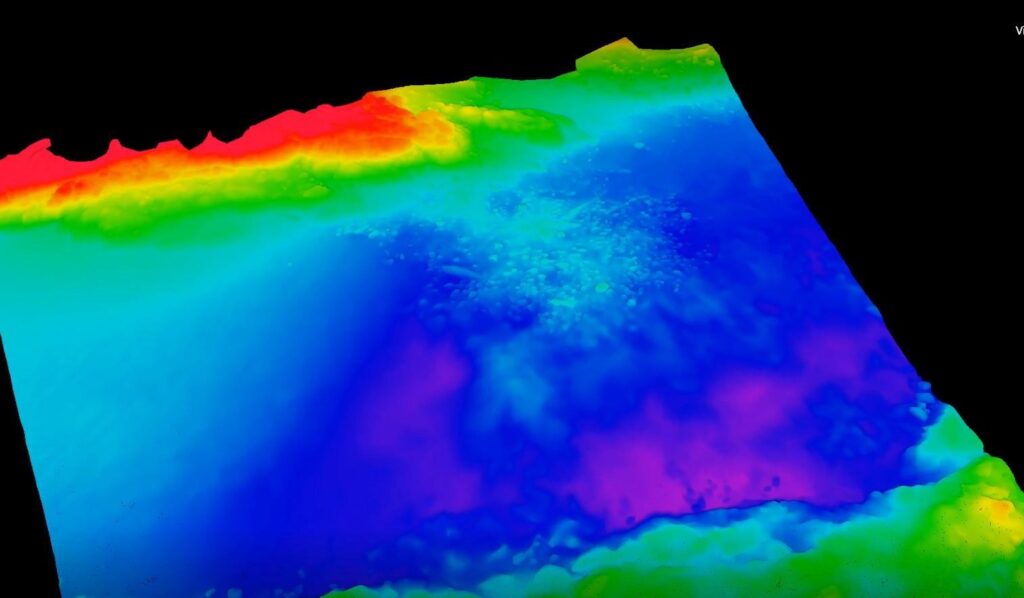
This video from Lighthouse Geo was made using NORBIT dual-head multibeam system WBMS and QPS Fledermaus interactive 4D geospatial processing and analysis software.
The video, portrays three wrecks and part of the Beirut harbor structure, until today unknown and now mapped for the first time.
In March 2017, Lighthouse together with QPS, organized training for the Lebanese Navy in cooperation with the Italian Navy as part of the ISG (International Support Group Lebanon) program.
Initially, the big wreck was recognized but there were some unclassified items of debris around the wreck. It was during the processing in Qimera that the two additional wrecks were discovered. Qimera, which has the core technologies of QINSy and Fledermaus joined together, proved again to be a highly valued addition to a hydrographic processing workflow.
During the two-week training in Beirut, the focus of the training was to set up a hydrographic workflow from data acquisition to the delivery of a reliable chart that conforms to IHO standards. Theory parts and practical exercises with data simulation were mixed with on-water exercises on the Lebanese Navy survey vessel. Lighthouse, involved by the Italian Navy within the ISG program, supplied all the equipment and provided the Lebanese Navy Operative Staff with a specific training course on the QPS software suite (QINSy, Qimera, and Fledermaus) using NORBIT systems.
The data acquisition was carried out through a survey vessel equipped with a NORBIT dual-head multibeam system WBMS and interfaced into QINSy. The NORBIT WBMS is a 200 – 700kHz, 1°x1° degree beam angle unit with a curved receive array and integrated AML SV probe. Positioning and motion data coming from an Advanced Navigation Spatial Dual FOG system was also interfaced to QINSy.
https://www.youtube.com/watch?v=6C6FWRmRHW4&feature=youtu.be


