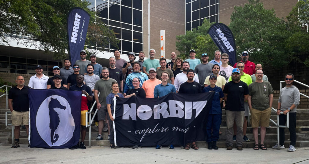
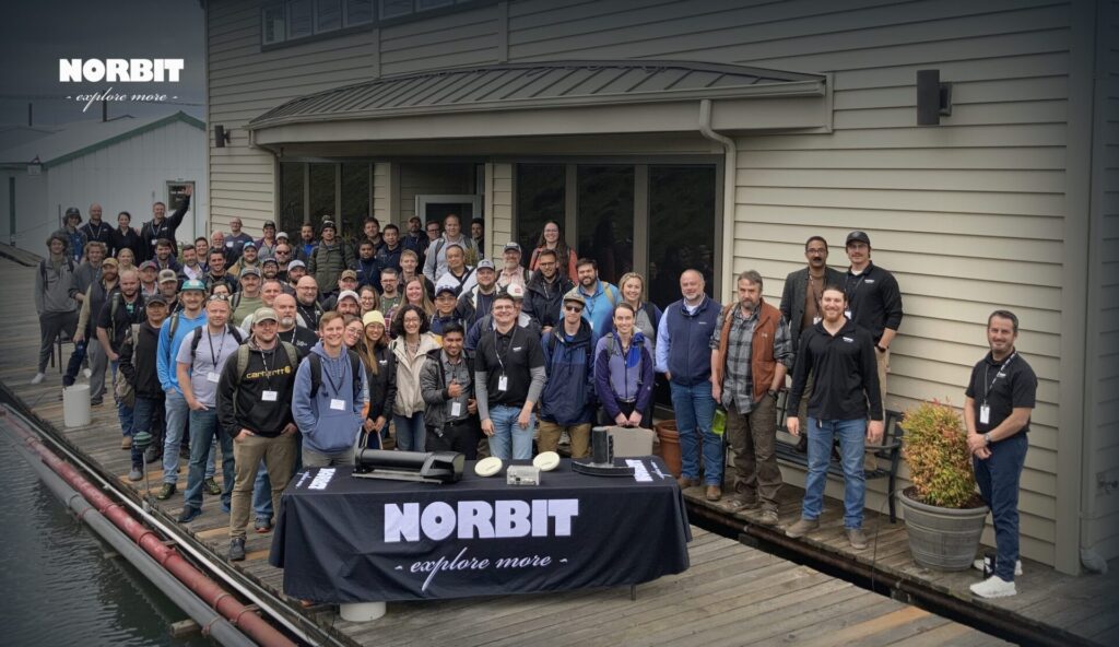
On July 14 NORBIT wrapped up the annual Seahorse Training for 2023 at Cape Fear Community Colleague (CFCC), Wilmington Campus. The training was at capacity with government agencies, private industry and academia participating from across the USA, Canada, and as far away as Singapore. The 5-day course provided attendees of various experience levels with hydrographic fundamentals through a mix of theory, demonstration and practical sessions to conduct highly accurate, repeatable, and efficient surveys. Using best practices and the latest survey technology, students had opportunity to observe and conduct a survey from start to finish with proven accuracies of less than 3cm. Activities included the establishment of horizontal and vertical control (GNSS observations and level loop for independent height verification), horizontal coordinate and vertical datum transformations, multibeam accuracy assessment (Plate Check Method), seabed, shoreline and infrastructure mapping, data processing and preparation of deliverables.
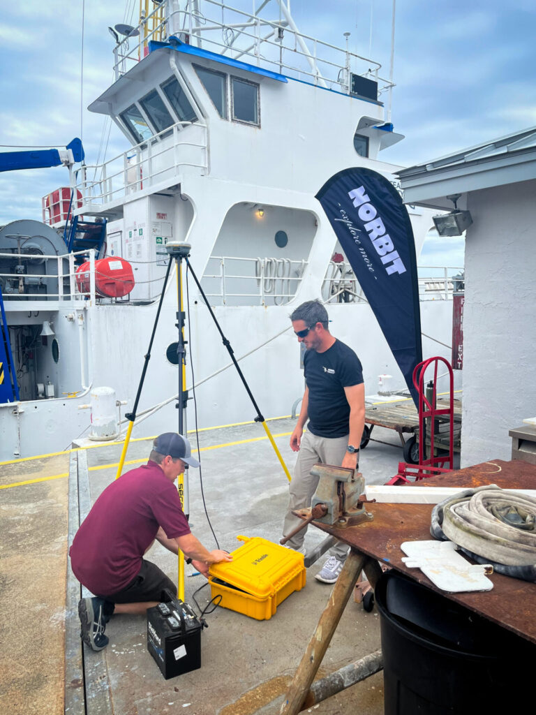
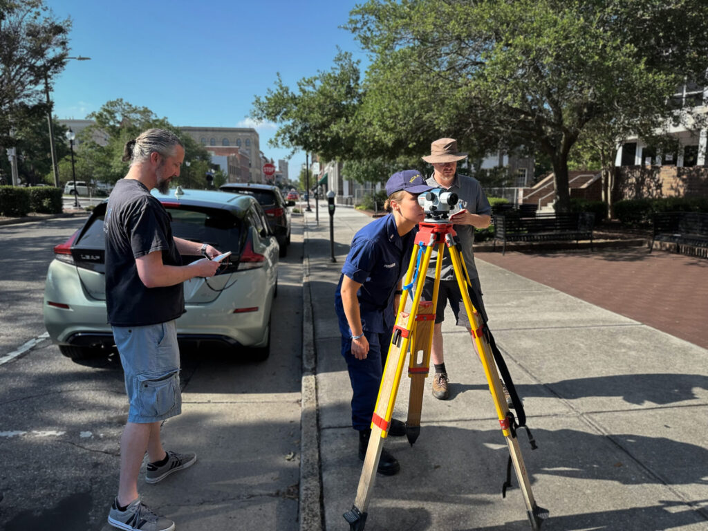
Class establishing a control point (left) and performing a level loop (right).
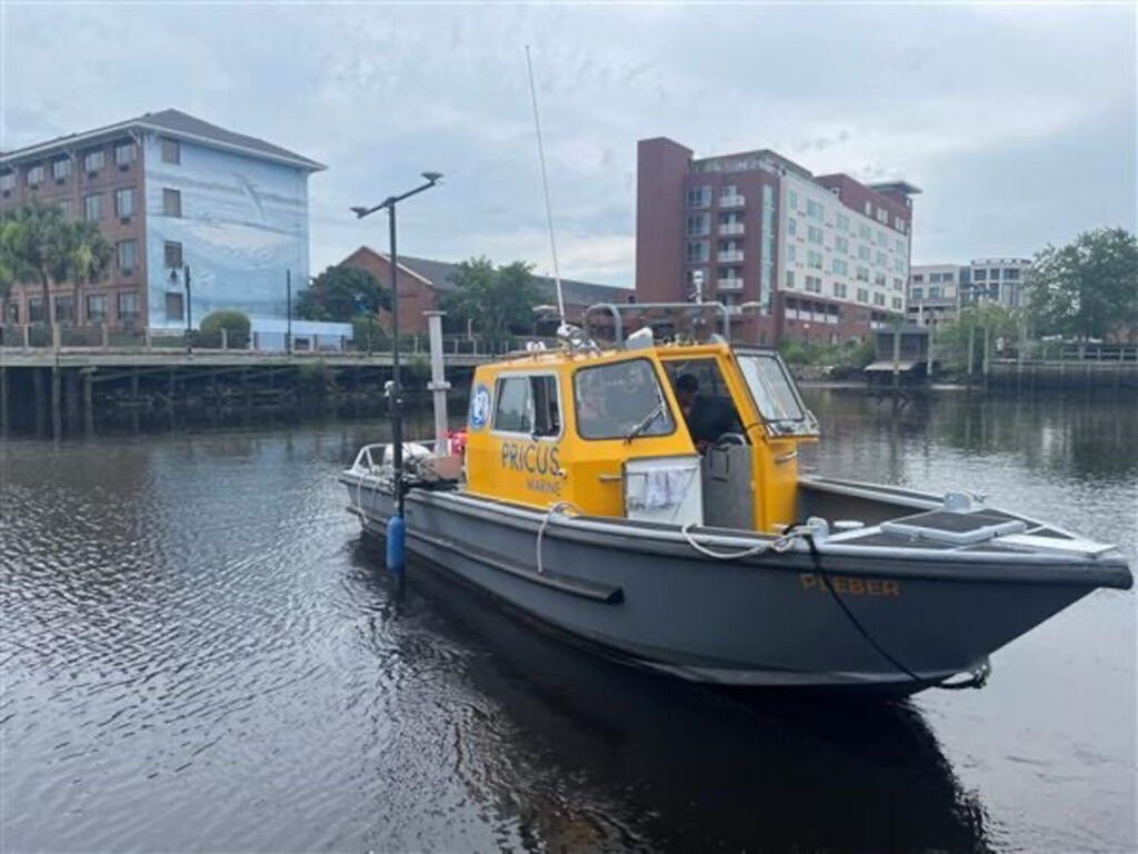
The PRICUS Marine 27′ Workskiff Pleber was fitted out for the training with the WINGHEAD i80S ultra high-resolution multibeam with integrated Applanix GNSS/INS and turnkey iLiDAR on a PORTUS mounting pole for rapid mobilization. Subsea (bathymetry, backscatter and water column) and terrestrial data was collected in the Northeast Cape Fear River and around the Isabel Holmes Bridge. During the survey the participants observed the effects and benefits of operating a multibeam with roll, pitch, and yaw stabilization, dual swath mode to double the number of beams from 1024 to 2048 and meet high density requirements, and Steerable Transmit scanning to improve data collection around submerged structures.
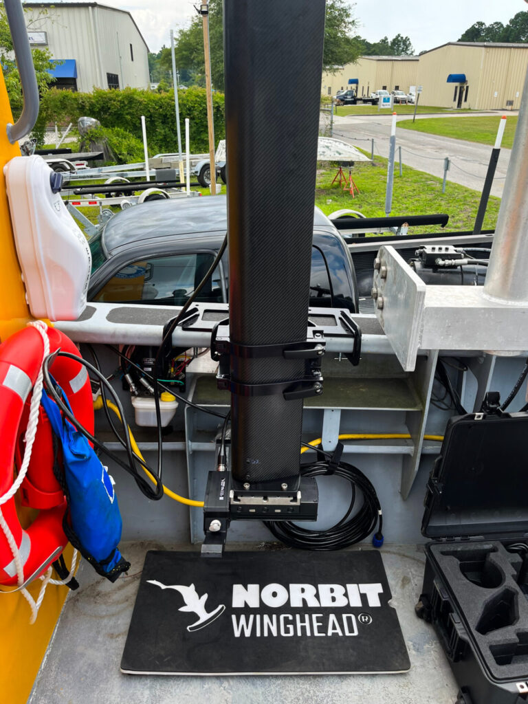
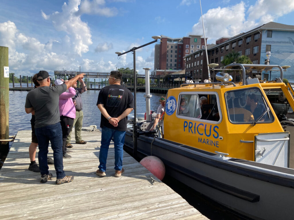
WINGHEAD i80S on PORTUS pole (left), trainees dockside with vessel and mobilised equipment (centre) and 27′ Workskiff heading out to survey in Northeast Cape Fear River (right).
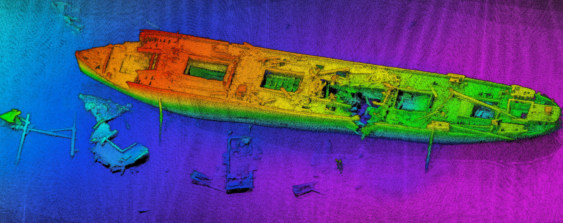
Following data collection the students used Post-Processed Kinematic (PPK) techniques to improve the horizonal and vertical positioning performance, applied Sound Velocity Profile (SVP) observations to account for changes in sound speed, reduced the data to local vertical datum, and generated high resolution 3D point clouds, Digital Terrain Models (DTMs) and backscatter mosaics.
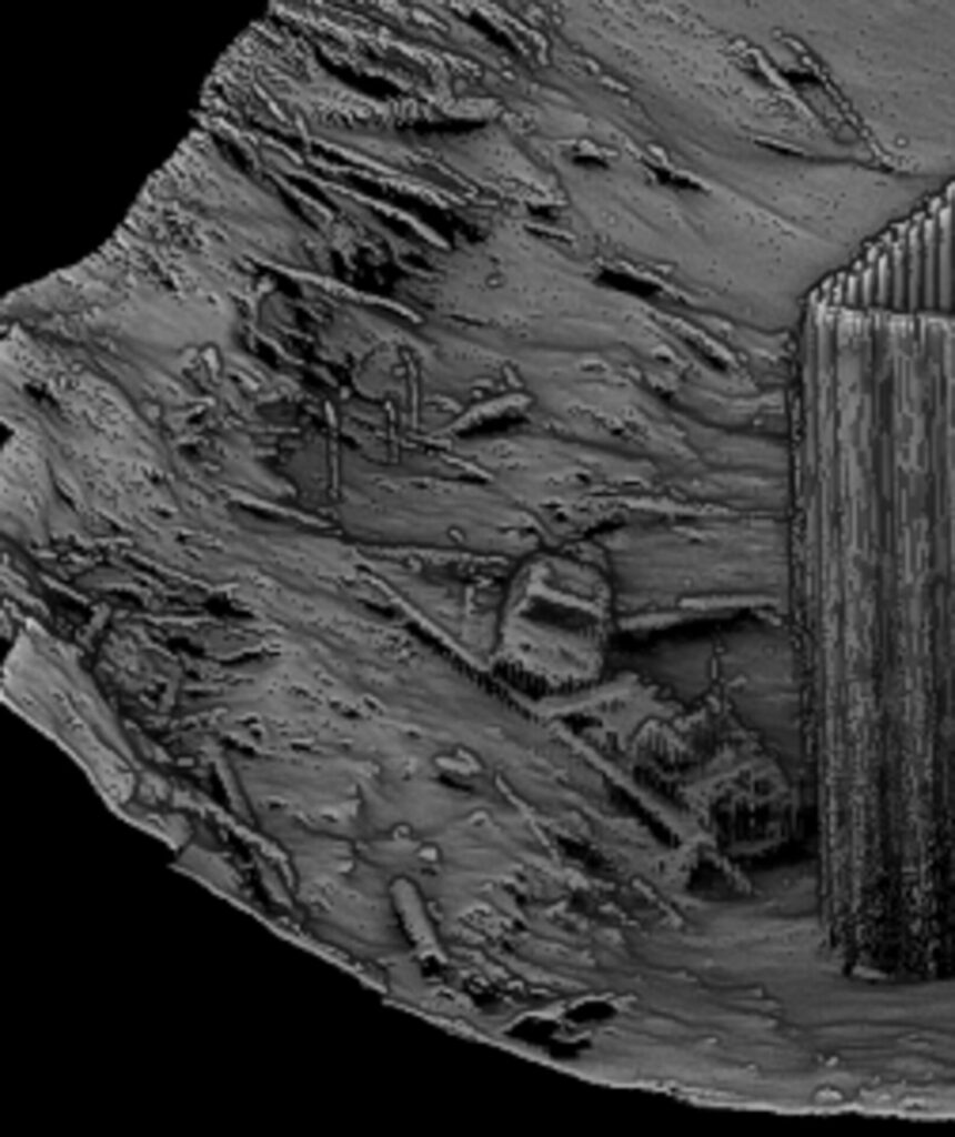
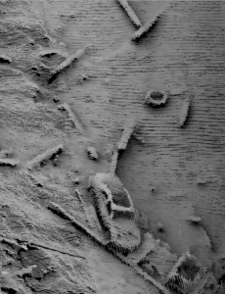
Motion stabilized and steerable transmit scanning i80S data around bridge foundation showing submerged vehicle and debris on the riverbed.
NORBIT is extremely pleased to have received overwhelmingly positive feedback from the participants, including the statements below, but also constructive comments, which are valuable to build on the course structure in the years to come.
‘With this training, I felt that I truly sharpened up on the fundamental topics of surveying; particularly in the theory, positioning, and hands-on leveling skills… Another valuable piece of this training was to hear from other entities within the industry…’
‘Thank you all again for the superb training on the Norbit system from top to bottom… it was a blast! ‘
‘Overall you guys did an excellent job. Your hospitality and friendliness couldn’t have been any better. We had a wide range of expertise making it is difficult to cater to everyone’s wants when giving the course but I’d say everyone was very happy.’
NORBIT would like to send a big thank you to the Seahorse Training Class of ’23, CFCC Wilmington Campus for providing an excellent venue for the event, PRICUS Marine for making their purpose built survey platform available for on water activities, and our Lunchtime Session presenters (Chesapeake Technology, Applanix and Terradepth) for updating the class on the latest marine survey technology and trends. We look forward to welcoming the next Seahorse Training Class in 2024!
