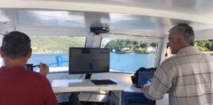
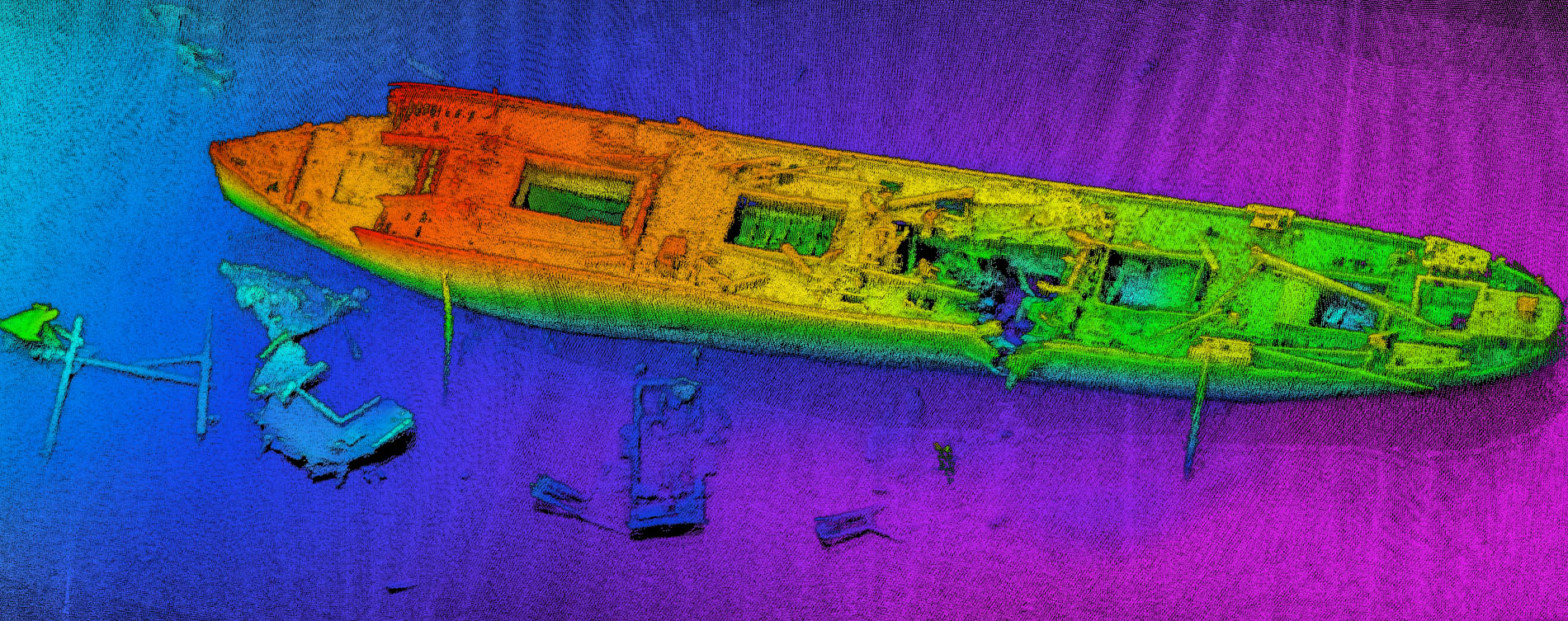
NORBIT delivers a complete hydrographic charting solution with comprehensive technical and hydrographic training for the Montenegrin charting authority. The solution effectively allows the authority to efficiently map their waters from 0.5m to 500m with ultra-fast mobilizations on any vessel of opportunity for coastal, river and lake surveys.
The NORBIT coupled GNSS/INS and WBMS bathymetric sonar system was purchased as part of the IPA cross-border cooperation between Montenegro and Croatia. The WBMS sonar achieves beam widths of <1°x1° at 400kHz and <2°x2° at 200kHz and was determined to be most compliant in terms of technical capability and price. The single sensor requires only one sensor cable for sonar, sound speed probe and IMU while allowing any sized swath width to be used within a 210° acoustic field of view.
The project, worth a total of almost 570,000 euros, is financed by an EU grant and is focused on the development of cross-border cooperation in joint research needs and raising awareness of the need to protect the sea.
Read full article (in Montenegrin) here


