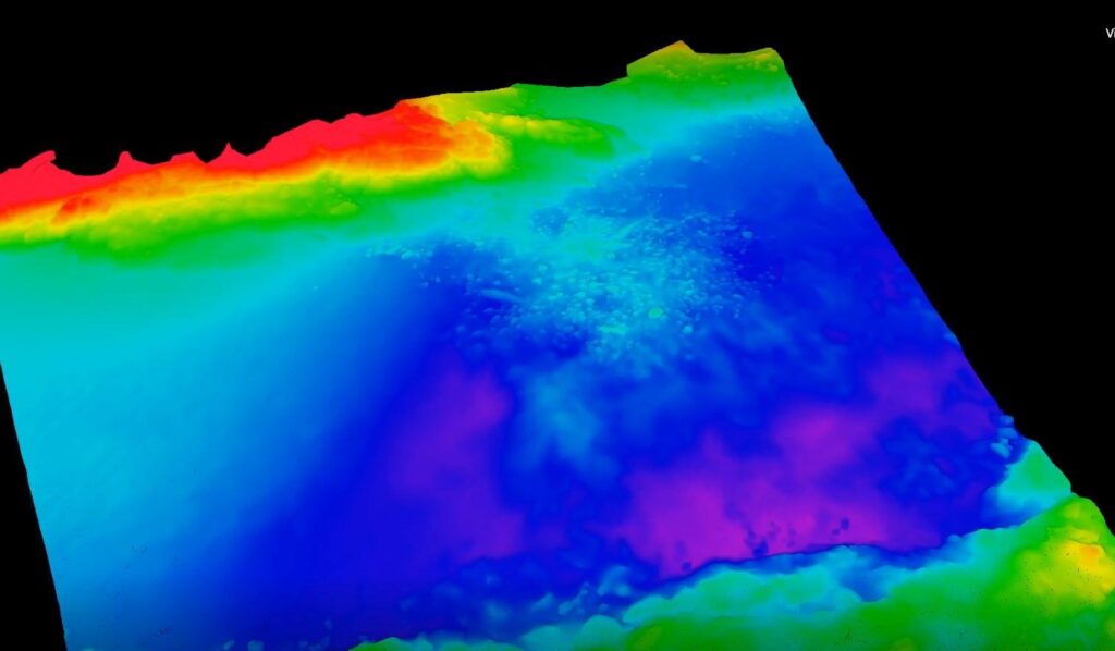
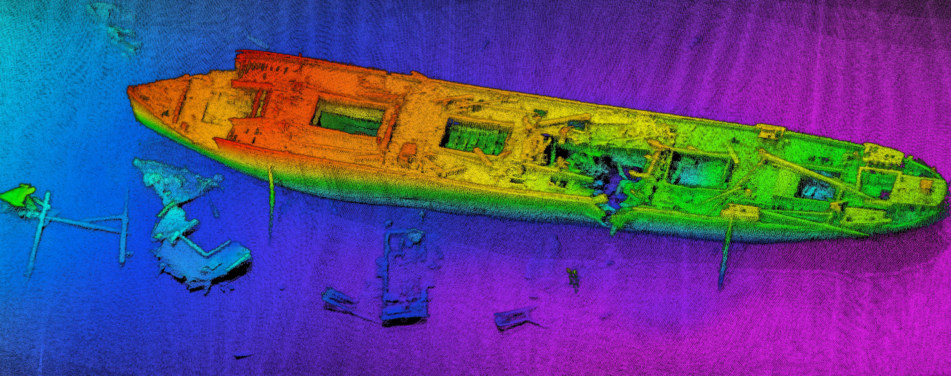
Searching for the submarine wreck is conducted around the shallower part of the Atlantic Ocean using a small vessel. The NORBIT iWBMS system as a compact and integrated mapping instrument secures high resolution data and quick mobilization, both crucial for the success of the mission. Side-scan sonar data output helps to follow interesting targets during the survey.
NORBIT Bathymetric Multibeam Operators Course
This week NORBIT welcomed more than 75 participants from the marine industry to…
NORBIT Strengthened Hydrographic Support Capability in APAC
NORBIT welcomes onboard Tan Hean Chee, Jerry in the position of the Hydrographic…
New Article: Integration of USV by K2sea with High-Resolution Multibeam Echo-sounder for Complete Automation of Bathymetric Measurements
Imagine you are a surveyor, comfortable seated by a lake or a sunny…