Section: Subsea
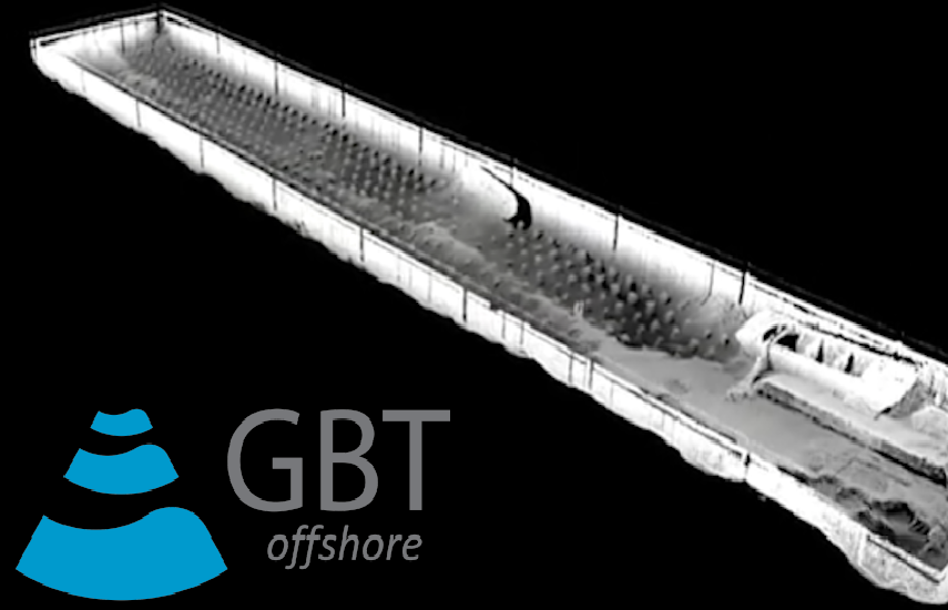
GBT – Training with NORBIT’s iWBMS system and iLiDAR
In September 2017 GBT ltd carried out a Training with the NORBIT iWBMS…
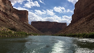
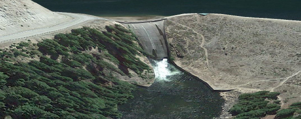
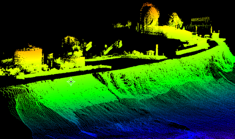
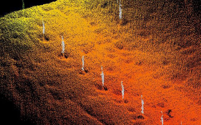
USGS and Northern Arizona University Channel Mapping in Grand Canyon
USGS and NAU Earth Scientists carry out annual bathymetric and topographic surveys of…
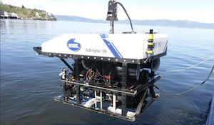
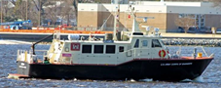
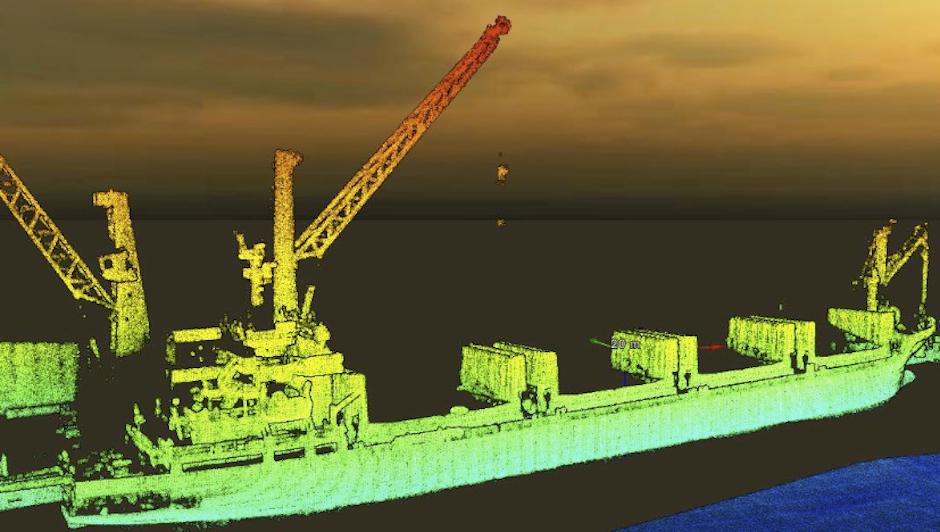
ROV installation example
NORBIT WBMS Bathy Sonar. ROV Installation Example / CAGE mission to monitor methane…