Introduction
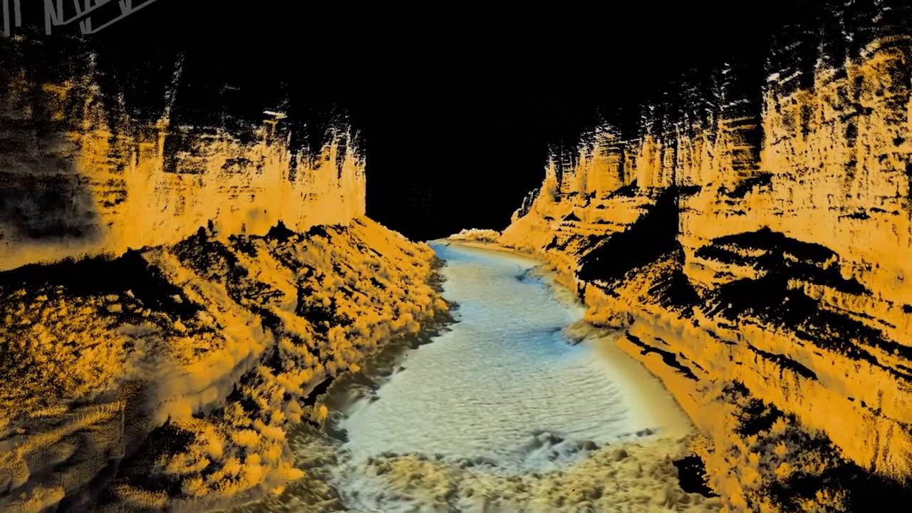
USGS and NAU Earth Scientists carry out annual bathymetric and topographic surveys of the Colorado River to assess the sand budget in the river.
In 2016, Seahorse Geomatics lent its support and included a NORBIT Wide Band Multibeam Sonar (WBMS) System kit.